
TL;DR

Play games on Amazon Luna for your game nights, included with Prime
- A rotating selection of games, no download needed
- Play on TV, laptop or phone
- Fast, free delivery for your gear, too
Commercial synthetic aperture radar can now provide frequent all-weather, day-and-night observations, but the growing volume of imagery exceeds what human analysts can review alone. AI-based detection and change-analysis systems are becoming the central layer between radar collection and operational decisions, though accuracy, oversight and national control remain open issues.
Artificial intelligence is becoming the main processing layer for a rapidly expanding supply of synthetic aperture radar imagery, as commercial operators and European governments deploy satellites capable of monitoring the ground through clouds, at night and during severe weather. The development matters because collection capacity is beginning to exceed the ability of human analysts to turn the data into timely warnings, detections and decisions.
SAR satellites transmit microwave pulses and record the strength and phase of the returning signals. Unlike optical spacecraft, they do not depend on sunlight and can observe through cloud, fog and smoke. The supplied industry briefing says commercial systems from Umbra and ICEYE offer imagery down to a claimed 16-centimeter resolution in their highest-resolution modes.
The technology also supports interferometric SAR, or InSAR, which compares observations of the same location to identify small changes in ground position. Potential applications include monitoring dams, bridges, railways and pipelines, mapping floods during storms and detecting ships that have switched off identification transponders. Resolution, revisit time and measurement precision vary by satellite, imaging mode and operating conditions.
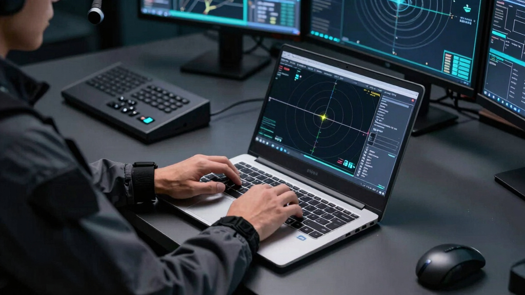
The emerging constraint is analysis. Persistent constellations can produce more images than analysts can inspect manually, especially when revisit intervals fall below an hour. AI systems can help with ship and vehicle detection, change identification, image prioritization and alert generation. The Thorsten Meyer AI briefing argues that buyers increasingly need an operational analytics service rather than raw radar data, which require specialist knowledge to interpret reliably.
Radar That Never Blinks
What SAR Does — for Companies, Institutions, Governments
Active microwave imaging: its own illumination, any weather, any hour. The sensor is solved — the reading of it isn’t.
Three consequences of the physics
Active sensor: transmits its own microwave pulses. Same image quality at 3 a.m. in a North Sea storm as at noon in the Sahara.
Phase-coherent imaging enables InSAR: ground deformation at millimeter scale — subsiding dams, sagging bridges, hidden excavation.
Metal reflects radar strongly. A ship that switches off its transponder vanishes from tracking sites — not from a radar image.
Who buys it, and why — three different answers
- Insurance: flood-extent maps within hours, through the storm — parametric payouts before adjusters arrive
- Infrastructure & energy: InSAR subsidence alerts on pipelines, rail, dams — no ground sensors
- Maritime & commodities: dark-vessel detection, port congestion, storage monitoring
- Caveat: buy analytics, not raw phase histories — the value is in the interpretation layer
- Disaster response: damage proxies and flood maps while optical is blind
- Climate science: ice velocity, deforestation under perpetual cloud (Sentinel-1, free & open)
- OSINT & journalism: verifiable all-weather evidence — normalized by Ukraine, institutionalized since
- Caveat: radar literacy is scarce — misread speckle becomes a confident, wrong “convoy”
- Deterrence: continuous all-weather watch closes the cloud-cover exploit window
- Verification: arms-control and sanctions evidence that doesn’t blink
- Autonomy: a subscription can be throttled by a foreign provider; a nationally-tasked constellation can’t
- Caveat: collection has outrun exploitation — the analyst corps can’t screen sub-hourly revisit manually
Europe is buying constellations, not just imagery
THE EXPLOITATION GAP
The scarce resource is no longer the satellite — it’s the software that turns phase histories into detections and decisions, in the jurisdiction the mission requires. Whoever owns the software that reads the radar owns the value of the constellation above it. Buying satellites while importing the exploitation stack just moves the dependency one layer up.
AI Becomes the Radar Bottleneck
Faster automated analysis could shorten the interval between satellite collection and operational action. Insurers could receive flood maps while storms still block optical cameras, infrastructure operators could investigate deformation alerts, and maritime authorities could search for unreported vessel activity. Governments could use the same capability for border monitoring, sanctions enforcement and military surveillance.
The shift also changes where strategic dependence sits. A country may own satellites yet remain reliant on a foreign provider for processing software, model updates or tasking support. Control of the exploitation system can determine who receives alerts, how quickly results arrive and whether sensitive radar data stay within the required legal jurisdiction.
synthetic aperture radar (SAR) satellite imagery
As an affiliate, we earn on qualifying purchases.
As an affiliate, we earn on qualifying purchases.
Europe Expands Radar Capacity
Spaceborne radar was once concentrated in a small group of national programs. The supplied briefing describes a more distributed 2026 market led by commercial fleets, including ICEYE’s constellation of more than two dozen satellites, alongside new European government programs. It identifies a €1.76 billion Bundeswehr agreement with ICEYE as a major component of the Finnish company’s backlog.
Poland is pursuing its MikroSAR military constellation, Portugal is developing the Atlantic Constellation with an air-force role, and Greece has included SAR in its national space program, according to the briefing. Free and open Sentinel-1 observations have also supported disaster response, climate research and public-interest investigations, helping move radar analysis beyond military agencies.
“The sensor is solved — the reading of it isn’t.”
— Thorsten Meyer AI industry briefing
Accuracy and Control Stay Unsettled
It is not yet clear how reliably current AI systems perform across different terrain, weather conditions and sensor configurations. Radar speckle, geometric distortion and unfamiliar viewing angles can produce false detections. Performance claims need testing against labeled data, with results broken down by satellite, imaging mode and target type.
The supplied material does not provide independent support for its projection that the global SAR market will rise from about $7.5 billion in 2026 to $18.8 billion by 2034. Questions also remain about model auditability, human review, data residency and responsibility when an automated alert is wrong or arrives too late.
Procurement Shifts Toward Exploitation
Upcoming contracts will show whether buyers fund analytics, computing infrastructure and analyst training at the same pace as satellites. Governments developing sovereign constellations will also have to decide whether the AI processing layer is built nationally, purchased from commercial vendors or divided among several providers.
The next evidence to watch is operational: documented detection accuracy, false-alarm rates, processing time and performance during real disasters or security incidents. Those results will determine whether persistent SAR becomes a dependable monitoring service or remains a large stream of imagery requiring extensive human interpretation.
Key Questions
What is synthetic aperture radar?
Synthetic aperture radar is an active imaging system that sends microwave signals toward Earth and measures their return. A satellite combines observations collected along its orbit to create high-resolution radar images.
Why can SAR monitor areas when optical satellites cannot?
SAR supplies its own illumination and does not need daylight. Its microwave signals can pass through clouds, fog and smoke, although heavy precipitation and surface conditions may still affect some measurements.
What role does AI play in radar monitoring?
AI can screen large image volumes for objects, movement and surface changes, then direct analysts toward higher-priority observations. It does not remove the need for human validation, especially when findings carry legal, financial or military consequences.
Can radar detect ships with their transponders switched off?
SAR can detect strong reflections from metal vessels without relying on a ship’s identification broadcast. Analysts must compare radar detections with tracking records and other evidence before classifying a contact as a dark vessel.
Are AI radar detections always reliable?
No. Accuracy depends on training data, image quality and operating conditions. Automated results can contain false positives or miss targets, making independent testing and analyst review necessary.
Source: Thorsten Meyer AI
Fall Picks
fall essentials
As an affiliate, we earn on qualifying purchases.